SR26 / US80 at Bull River and Lazaretto Creek
Chatham County, Georgia
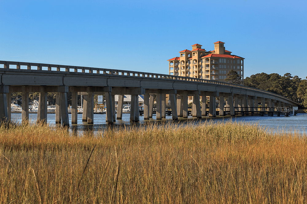
LONG provided surveying services associated with the widening and bridge replacement on the road from Johnny Mercer Boulevard to Old US 80 on Tybee Island. All topographic surveys extended 200+ feet left and right of the edge of the marsh, rivers, and streams. The topography defined the terrain beneath the bridge to include end rolls, stream banks, and other breaks in elevation. This included Bird Island which is approximately 238 acres at high tide and 871 acres at low tide and is only accessible by boat. LONG utilized echo sounding technology for their surveys on this project which is a type of sonar used to determine the depth of water by transmitting sound pulses into water.