LAND SURVEYING
LONG has been providing land surveying services for the past 20 years on some of the most high-profile and challenging projects in Georgia. We consider ourselves to be one of the strongest land surveying firms and are prequalified with GDOT in 5.01 Land Surveying, 5.02 Engineering Surveying, and 5.03 Geodetic Surveying. Our approach to surveying is to hire the best and most experienced field crews, equip them with state-of- the-art survey equipment, and train them to safely and efficiently gather survey data from the field. LONG has (3) Professional Land Surveyors (PLS) on staff and can run up to 12 field crews simultaneously. Our commitment to meeting predetermined schedules for our clients is unmatched.
All crews are outfitted with the latest one second Leica robotic and manual total stations, digital Leica and Topcon levels, Leica GPS RTK and Static units, and Seafloor HydroLite units. We routinely use MicroStation and InRoads Select Series 2 (10 seats) for development and GDOT roadway databases, and AutoCAD and Civil 3D (23 seats) for boundary, topographic, utility, and tree surveys for private clients. Our clients include GDOT, City of Atlanta, Gwinnett County, DeKalb County, Hartsfield-Jackson Atlanta International Airport (HJAIA), and the Metro-Atlanta Rapid Transit Authority (MARTA) just to name a few.

Mercedes Benz Stadium
Atlanta, Georgia

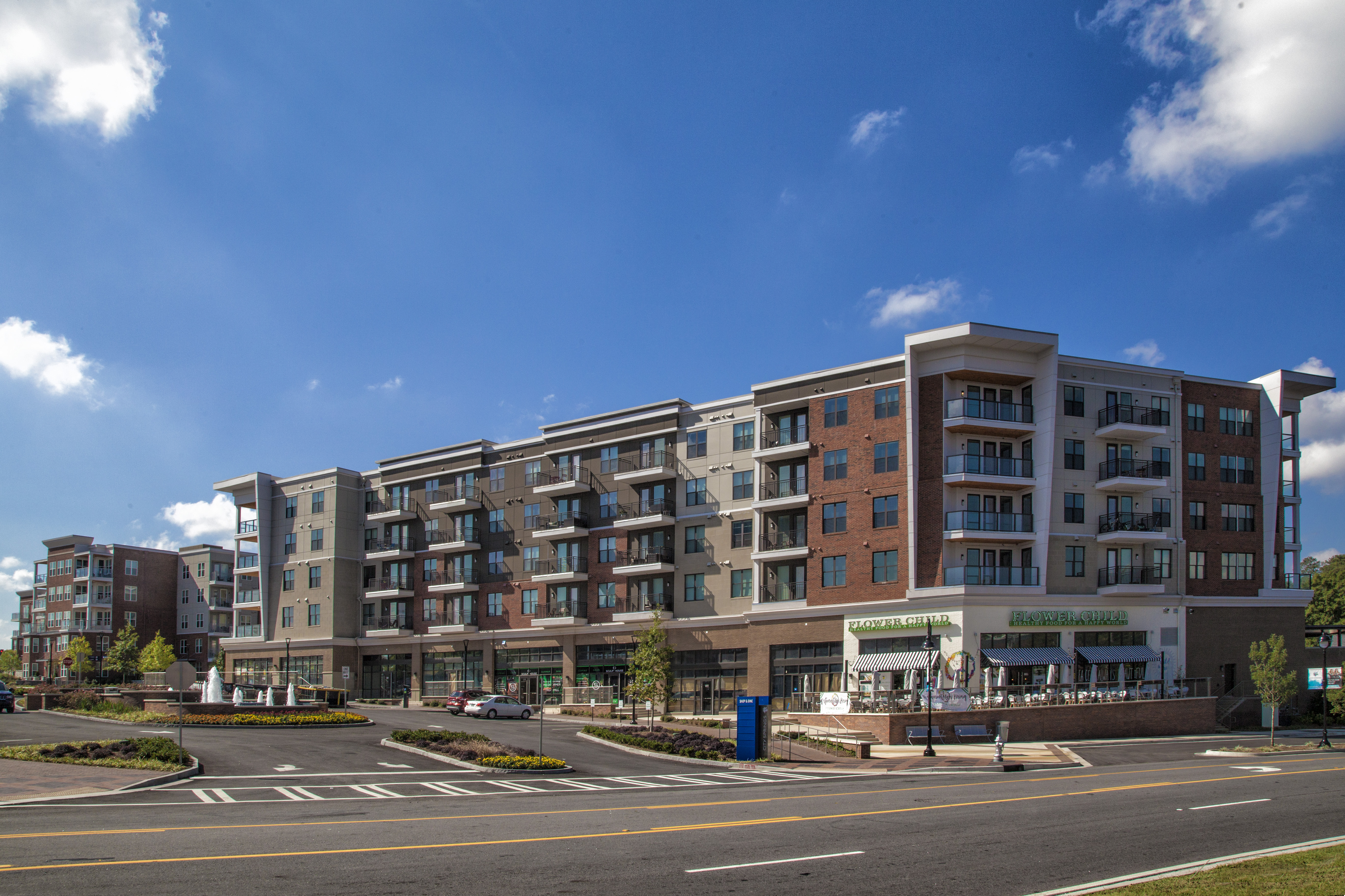
City Springs
Sandy Springs, Georgia

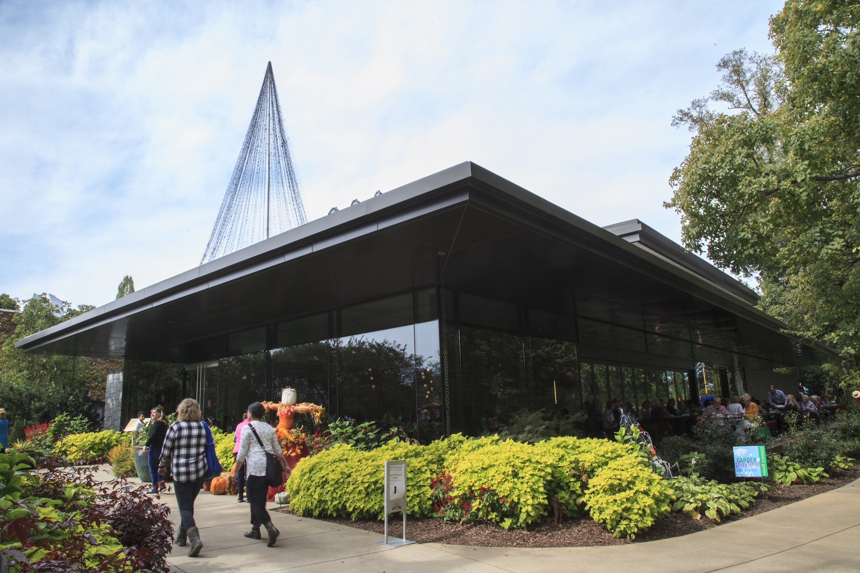
Atlanta Botanical Garden
Atlanta, Georgia

Northside Hospital Main Campus
Atlanta, Georgia

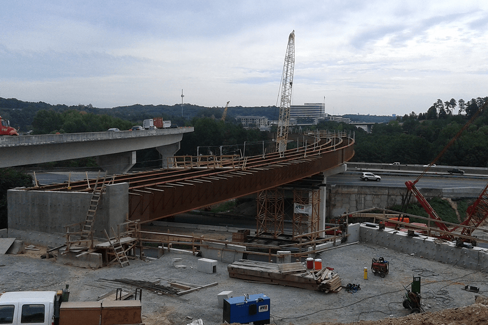
Northwest Corridor Toll Lanes
Cobb & Cherokee Counties, Georgia

SR 26/US 80 at Bull River and Lazaretto Creek
Chatham County, Georgia

SR 400 Express Lanes
Fulton & Forsyth Counties, Georgia

I-85 Widening Project
Gwinnett, Barrow, & Jackson Counties, Georgia

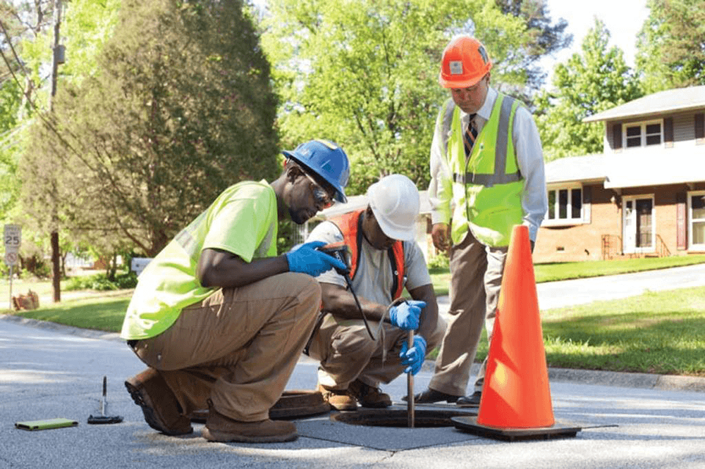
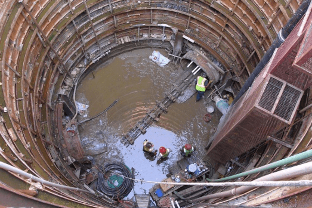
Stockade Basin Sewer Separation Infrastructure Inventory Project
Atlanta, Georgia

DeKalb County Infrastructure Inventory Project
DeKalb County, Georgia

Greensferry Basin Sewer Separation Infrastructure Inventory Project
Atlanta, Georgia
MARKET SECTORS
- Boundary & Topographic
- Transportation
- Utility
SERVICES
- ALTA/ACSM Land Title Surveys
- Topographic & Utility Surveys
- Airport Surveys
- Roadway Database Surveys
- Hydraulic/Bathymetric Surveys
- GIS Inventory Surveys
- GPS Surveys
- Settlement Surveys
- Construction As-Built Surveys
- Infrastructure Inventory Surveys
- Aerial Drone Surveys (UAV)
- Tunnel Surveys
- Construction Staking